Developed by the London School of Hygiene & Tropical Medicine (LSHTM), the research combined data from Earth observation satellites with readings from ground-based pollution monitors, as well as other information such as population density, road density and the location of airports. Machine learning algorithms were then applied to these datasets, producing estimates of ground-level concentration of fine particulate matter (less than 2.5 microns, PM2.5) for the whole of Great Britain from 2008-2018.
IMechE calls for new clean air act to tackle ill-health from air pollution
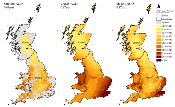
The team mapped the results onto the island of Great Britain using a 1 x 1km grid and cross-referenced the estimates using historical data from ground-based monitoring stations, with the modelling found to be ‘closely aligned’ to actual readings. South-East England was revealed as the most polluted region, but air across the whole island was found to be improving over the decade-long period. It is hoped that the granular picture of air pollution can now be used by epidemiologists to study the links between air quality and healthcare problems.
"This research uses the power of artificial intelligence to advance environmental modelling and address public health challenges,” said Dr Rochelle Schneider, first author of the research, which is published in Remote Sensing.
“This impressive air pollution dataset represents PM2.5 records for 4,018 days in a spatial domain of 234,429 grid cells. This provides a remarkable total of 950 million data points that comprehensively quantify the level of air pollution across the whole of Great Britain in an eleven-year period."
Until now, studies on the links between air pollution and health have relied on air quality data from ground stations. This has significantly limited their scope, with only snapshots of reliable data from certain pockets of the country. The new technique essentially uses AI to fill in the blanks, making accurate estimates for the entire country based on a combination of different data points. According to the researchers, the next steps will see the estimates combined with local health records to reveal the links between air pollution and various diseases.
"This study demonstrates how cutting-edge techniques based on artificial intelligence and satellite technologies can benefit public health research,” said Antonio Gasparrini, Professor of Biostatistics and Epidemiology at LSHTM and senior author of the study.
“The output reveals the shifting patterns of air pollution across Great Britain and in time with extraordinary detail. We now hope to use this information to better understand how pollution is affecting the nation's health, so we can take steps to minimise the risk. The vast amount of data produced will provide a vital tool for public health researchers investigating the effects of air pollution."


Red Bull makes hydrogen fuel cell play with AVL
Formula 1 is an anachronistic anomaly where its only cutting edge is in engine development. The rules prohibit any real innovation and there would be...