Data, and how we use it, is becoming ever more critical in our day-to-day operations – especially when it comes to forest firefighting and supporting emergency operations.
The Lua, which is developed by Babcock’s Innovation Team in Spain, consists of an unmanned helicopter-based aerial platform with a maximum take-off weight of 25kg. It has a payload capacity of 7 kg and more than 2.5 hours of autonomous endurance. It also has a 30km range from its ground station, can be deployed in less than 15 minutes, and is now used during night operations.
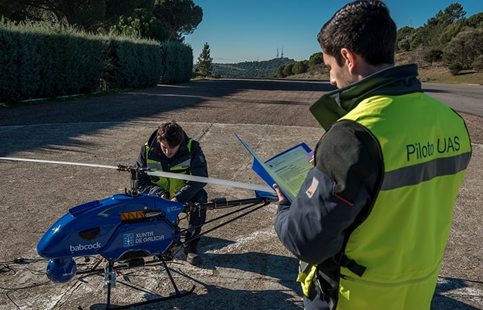
Lua is pioneering in several ways. It is capable of several hours of autonomous flight and, through the use of predictive modelling of changing meteorological conditions, Babcock can analyse the data programmed into the UAVs to help decide which incident locations to focus on and how best to optimise the number of manned helicopters available to target fires.
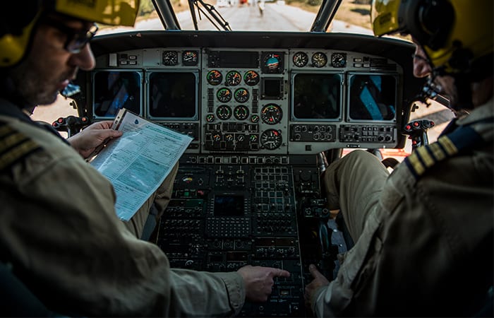
Lua also works in conjunction with Babcock’s EINFOREX Firefighting technology system by providing geo-referenced images in the visible and infrared spectrum and the visualisation of the set of images on a 3D scene.
Borne out of customer and operational needs, EINFOREX gathers intelligence and data from firefighting missions, which is then sent in real time to command and control centres. Analysis of vital information is then used to enhance firefighting tactics and safety for firefighters and save lives.
Mapped images of the fire are sent to commanders in Emergency Control centres giving them an instant picture of the incident they are working on including temperature changes within the fire so they can decide from the information received the best places to deploy firefighters.
Using the helicopter as a relay, the geo-position of the aircraft, firefighters and ground vehicles, are also transmitted back to the command and control centre, giving accurate information on the locations of all those involved in the firefighting mission.
Through our innovative and collaborative technology approach, Lua supports the safety-critical work of our firefighting teams and also demonstrates a prototype that can be rolled out to other areas of the world.
As with all our technologies, the role our skilled engineers play is vital. Babcock is working in partnership with several Spanish universities to ensure the next generation of engineers can work with them to support this cutting-edge project.
Our technology solution doesn’t stop there. EINFOREX can also detect the mobile phones of civilians in the fire affected areas and can advise those running the mission of the best escape routes for those caught up in the fire.
Being at the forefront of innovative technology solutions such as EINFOREX show Babcock really does thrive in complex environments demanding specialist engineering expertise and where being in command of the data really does make every second count.
Babcock is the partner of The Engineer’s 2019 Data Week
For more information contact technology@babcockinternational.com
MORE ON AEROSPACE
See Wildfire warriors: the latest developments in aerial firefighting technology


Nanogenerator consumes CO2 to generate electricity
Whoopee, they've solved how to keep a light on but not a lot else.