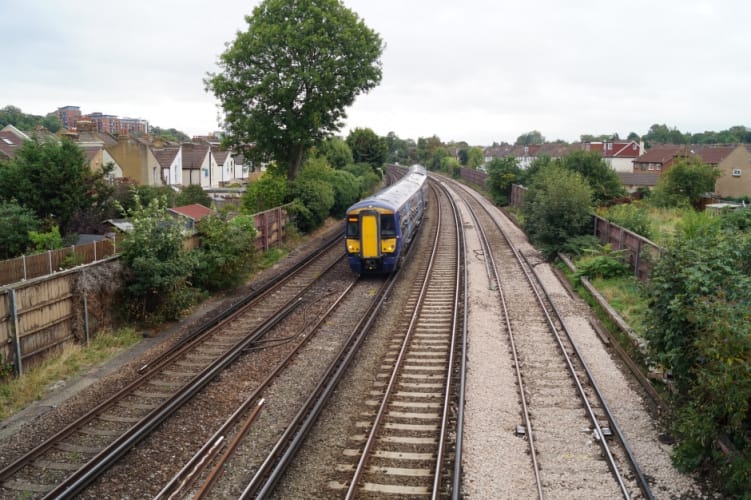
Engineer Q&A: On track with RILA remote surveys
Fugro’s RILA (railway infrastructure alignment acquisition system) collects absolute track position data and 3D point cloud data of the entire rail corridor whilst operating at line speed. Mark Thomas, Rail Business Manager, UK talks to The Engineer about RILA’s origins, its implementation and future direction.
What inspired Fugro to develop RILA?
When Fugro was developing a system for measuring and analysing rail infrastructure, our priority was to design a way of performing track surveys safer, faster, cheaper and with a lower environmental impact than traditional ground survey methods. This led to the train-mounted RILA solution, a system that provides the accuracy and insights of competing solutions while allowing trains to run at regular speed and with no impact on the network capacity.

Can you tell us more about the technology involved – what is it and what exactly does it do?
The system uses integrated laser and imaging systems to measure absolute track position and geometry to engineering specification accuracy while working at line speed (up to 125mph). Laser beams pass over each rail and a camera captures high resolution images of the rail head and rail foot. Tightly integrated onboard GNSS and inertial measurement systems compute the position and orientation of the track, while integrated video can be georeferenced for further analysis.
Register now to continue reading
Thanks for visiting The Engineer. You’ve now reached your monthly limit of premium content. Register for free to unlock unlimited access to all of our premium content, as well as the latest technology news, industry opinion and special reports.
Benefits of registering
-
In-depth insights and coverage of key emerging trends
-
Unrestricted access to special reports throughout the year
-
Daily technology news delivered straight to your inbox


Water Sector Talent Exodus Could Cripple The Sector
Maybe if things are essential for the running of a country and we want to pay a fair price we should be running these utilities on a not for profit...