Filling in the blank spots

New software is helping scientists get a more complete view of the environment from satellites that orbit the earth.
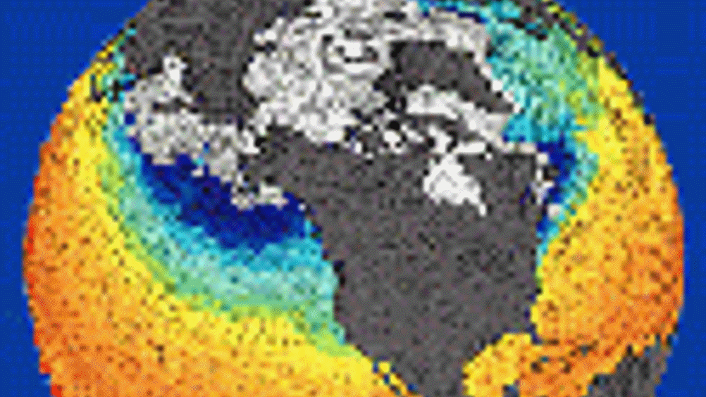
Maps that depict the thickness of the ozone layer, for instance, frequently contain blank spots where a satellite wasn’t able to record data on a particular day, explained Noel Cressie, professor of statistics and director of the Program in Spatial Statistics and Environmental Sciences (SSES) at Ohio State University.
He and his colleagues found a way to use data from the rest of a map as well as from previous days to fill in the blank spots. The same technique could be used in studies of agricultural data or even medical imaging.
When it comes to mapping the environment, satellites gather so much data every day that filling in the missing parts quickly is a challenge.
“Right now, from a statistical point of view, people can either fill in these maps well, but not very fast – or fill them in fast but not very well,” Cressie said. “We do it well and we do it fast.”
Register now to continue reading
Thanks for visiting The Engineer. You’ve now reached your monthly limit of premium content. Register for free to unlock unlimited access to all of our premium content, as well as the latest technology news, industry opinion and special reports.
Benefits of registering
-
In-depth insights and coverage of key emerging trends
-
Unrestricted access to special reports throughout the year
-
Daily technology news delivered straight to your inbox


Comment: The UK is closer to deindustrialisation than reindustrialisation
No. 20% is added to the bill (not deducted) as output tax that is recovered by a VAT registered customer as input tax, until a customer down the...