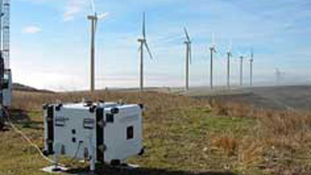
Laser measures high winds
A French start-up company from The European Space Agency’s (ESA) Business Incubation Centre in the Netherlands has developed a small instrument to measure wind speed and direction from the ground up to heights of 200m - information that is vital when deciding where to build wind turbines.

French company Leosphere developed the Windcube system using ‘lidar’ (light detection and ranging) remote-sensing technology to measure wind speed and direction, turbulence and wind shear.
‘Windcube sends laser pulses to measure wind characteristics. The laser light is scattered on its path by particles in the air, such as dust, water and aerosols, and bounced back to an optical sensor. These signals capture the movement in atmosphere particles and using mathematical calculations we can determine the absolute wind speed and direction in the laser pulse’s line of sight,’ explained Laurent Sauvage, Leosphere’s scientific director.
Leosphere was supported during its start-up phase by ESA’s Business Incubation Centre (BIC) in Noordwijk, the Netherlands. The company also collaborated with the French ONERA aerospace laboratory during development.
‘With our Windcube system we can measure the wind profile at 10 programmable measurement heights in the range of either 40-200m or 100-5,000m vertically above the point of measurement, depending on the needs of our customers. In addition, we have developed other systems using the same lidar technology to measure clouds and aerosol parameters. More than 80 systems are now installed in 14 countries, contributing to regional and global monitoring of meteorological and climate-change processes,’ added Sauvage.
Register now to continue reading
Thanks for visiting The Engineer. You’ve now reached your monthly limit of news stories. Register for free to unlock unlimited access to all of our news coverage, as well as premium content including opinion, in-depth features and special reports.
Benefits of registering
-
In-depth insights and coverage of key emerging trends
-
Unrestricted access to special reports throughout the year
-
Daily technology news delivered straight to your inbox


UK Automotive Feeling The Pinch Of Skills Shortage
Not so much attracting skills to the UK but generating skills within the UK is what is needed! That statement suggest they are in effect wanting to...