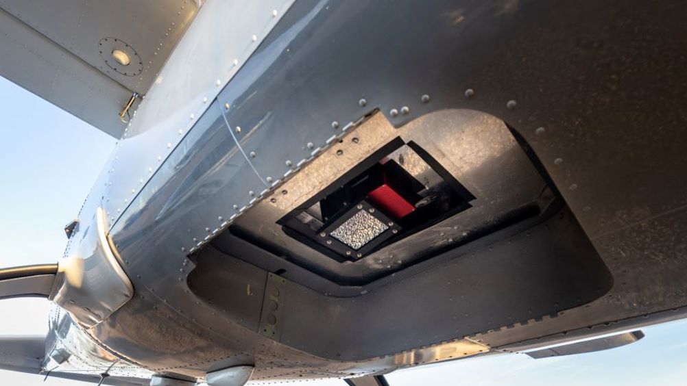
Space tech maps heat loss in housing over Leeds
Technology developed to capture high-definition thermal data from space has been used much closer to Earth to map heat loss from houses in Leeds.

London-based Satellite Vu’s thermal imaging technology has been used onboard a specially equipped aircraft to gather data on the level of heat loss from individual buildings, thereby helping to identify those most in need of retrofitting.
Michael-Paul Kirstein, head of Flight Operations at Satellite Vu said the aircraft flew at 8000ft above ground with the ground speed varying between 120 knots and 140 knots for the duration of the survey, which took two hours.
The flight was funded by MCS Charitable Foundation and carried out in partnership with Leeds City Council, which will use the thermal imaging data to help residents better understand heat loss and to motivate retrofitting in the private sector. The data will also be used to bolster local area-based retrofit and other schemes by the council, such as a whole house retrofit of 300 mixed-tenure Victorian back-to-back homes in the Holbeck area of the city.
Register now to continue reading
Thanks for visiting The Engineer. You’ve now reached your monthly limit of news stories. Register for free to unlock unlimited access to all of our news coverage, as well as premium content including opinion, in-depth features and special reports.
Benefits of registering
-
In-depth insights and coverage of key emerging trends
-
Unrestricted access to special reports throughout the year
-
Daily technology news delivered straight to your inbox


Water Sector Talent Exodus Could Cripple The Sector
Well let´s do a little experiment. My last (10.4.25) half-yearly water/waste water bill from Severn Trent was £98.29. How much does not-for-profit Dŵr...