MIT drone uses NanoMap tech for high speed navigation of cluttered environments
Researchers at MIT's Computer Science and Artificial Intelligence Laboratory (CSAIL) have developed NanoMap, a drone navigation system that enables the high speed navigation of cluttered environments like forests and warehouse.
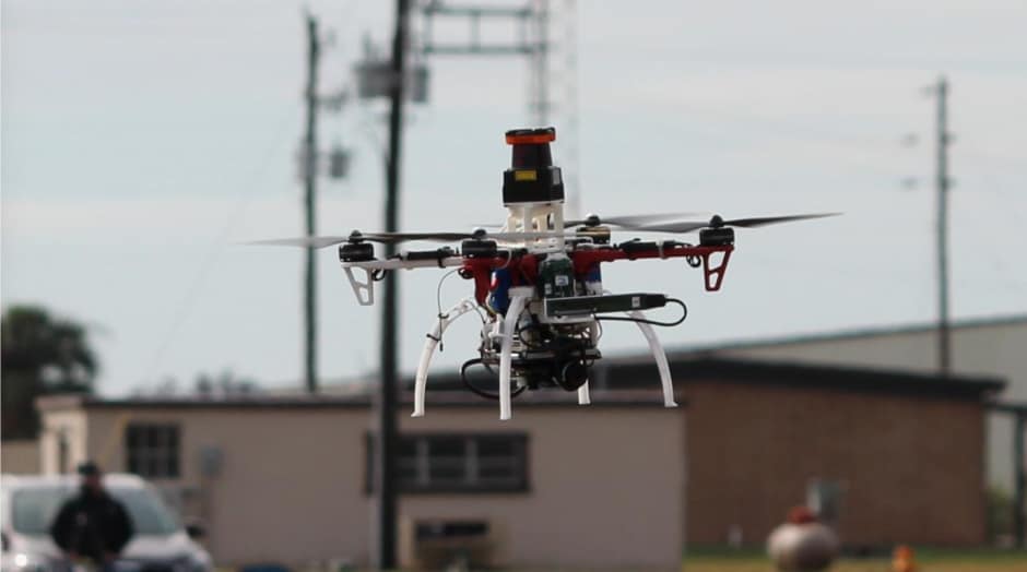
NanoMap technology - which, during trials, enabled drones to fly at up 20 miles per hour through dense environments - potentially opens up a range of applications for small drones such as parcel delivery and search and rescue.
Existing approaches to drone navigation of this sort typically rely on intricate maps that aim to tell drones exactly where they are relative to obstacles. This isn't particularly practical in real-world settings with unpredictable objects as if their estimated location is off by even just a small margin, they can easily crash.
By contrast, NanoMap considers the drone's position in the world over time to be uncertain, and actually models and accounts for that uncertainty. "Overly confident maps won't help you if you want drones that can operate at higher speeds in human environments," said graduate student Pete Florence. "An approach that is better aware of uncertainty gets us a much higher level of reliability in terms of being able to fly in close quarters and avoid obstacles."
Register now to continue reading
Thanks for visiting The Engineer. You’ve now reached your monthly limit of news stories. Register for free to unlock unlimited access to all of our news coverage, as well as premium content including opinion, in-depth features and special reports.
Benefits of registering
-
In-depth insights and coverage of key emerging trends
-
Unrestricted access to special reports throughout the year
-
Daily technology news delivered straight to your inbox
Water Sector Talent Exodus Could Cripple The Sector
Well let´s do a little experiment. My last (10.4.25) half-yearly water/waste water bill from Severn Trent was £98.29. How much does not-for-profit Dŵr...