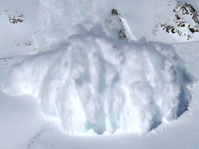
The Advanced MIMO Radar Development for Geophysical Imaging Applications was created by scientists and engineers from University College London, Durham University and Sheffield University, in collaboration with the Swiss Federal Institute for Snow and Avalanche Research (SLF). The system creates 3D images from inside powder clouds, where the movement of snow is obscured from sight. It is hoped the new data will provide researchers with a better understanding of avalanches to help mitigate their effects.
“It’s not possible to predict precisely when avalanches will happen, but our radar imaging system aids understanding of how they behave when they do occur,” said project leader Professor Paul Brennan, from UCL.
“By penetrating the powder cloud, it can observe the nature and direction of the flow of the 90 per cent of snow that would otherwise remain invisible.”
The radar system uses an antenna to transmit radio waves and a 1.95m receiver array to capture them as they reflect back from the snow. According to the researchers, it provides greater sensitivity and higher resolution images than any other similar system previously developed.
Inspiration for the system came from collaboration with the British Antarctic Survey (BAS), which has been using radar to measure and monitor the melt rates of Antarctic ice shelves with millimetre precision.
“Two members of our team spent two months in Antarctica working with BAS, which was invaluable in informing development of our imaging system,” said Brennan. “Our system is an excellent scientific research tool generating real-world field data that SLF can put to productive and potentially life-and money-saving use in the years ahead.”


Glasgow trial explores AR cues for autonomous road safety
They've ploughed into a few vulnerable road users in the past. Making that less likely will make it spectacularly easy to stop the traffic for...