Scans reveal secrets of the world's oldest navigation tool
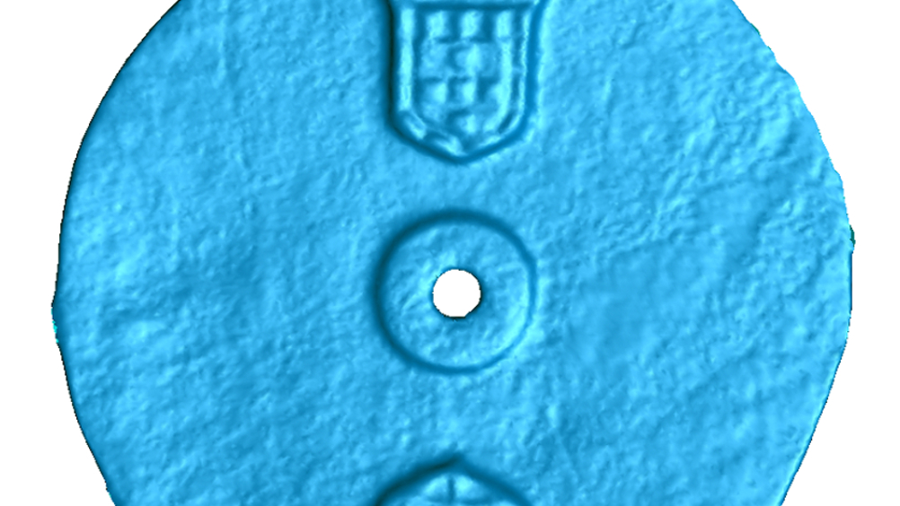
Scanning technology at WMG has been used to reveal details on the surface of an astrolabe, a navigation tool found in the wreck of a Portuguese explorer ship that sank in 1503.

The late fifteenth century astrolabe, which is believed to be the earliest known marine navigation tool, was used by mariners to measure the altitude of the sun during voyages.
It was excavated by Blue Water Recoveries, who could not see any navigational markings on it so they took it WMG’s Professor Mark Williams, who conducts scanning analyses, to reveal the artefact’s invisible details.
Scans proved it was an astrolabe because markings were found etched around the edge of the object, each separated by five degrees. These would have allowed mariners to measure the height of the sun above the horizon at noon to determine their latitude so they could find their way on the high seas.
The technology at WMG was able to accurately scan the item to within 0.1mm and reproduce a high-resolution 3D model.
Prof Williams said: “It was fantastic to apply our 3D scanning technology to such an exciting project and help with the identification of such a rare and fascinating item.
Register now to continue reading
Thanks for visiting The Engineer. You’ve now reached your monthly limit of news stories. Register for free to unlock unlimited access to all of our news coverage, as well as premium content including opinion, in-depth features and special reports.
Benefits of registering
-
In-depth insights and coverage of key emerging trends
-
Unrestricted access to special reports throughout the year
-
Daily technology news delivered straight to your inbox


Construction industry lags in tech adoption
Are these the best people to ask "Insights from 2,000 Industry Leaders"? - what would their customers views be like (perhaps more...