UK stakes claim for lead role in autonomous mapping
A new report has outlined how the UK could take a leading role in the mapping, data and regulatory systems that will underpin autonomous vehicles.
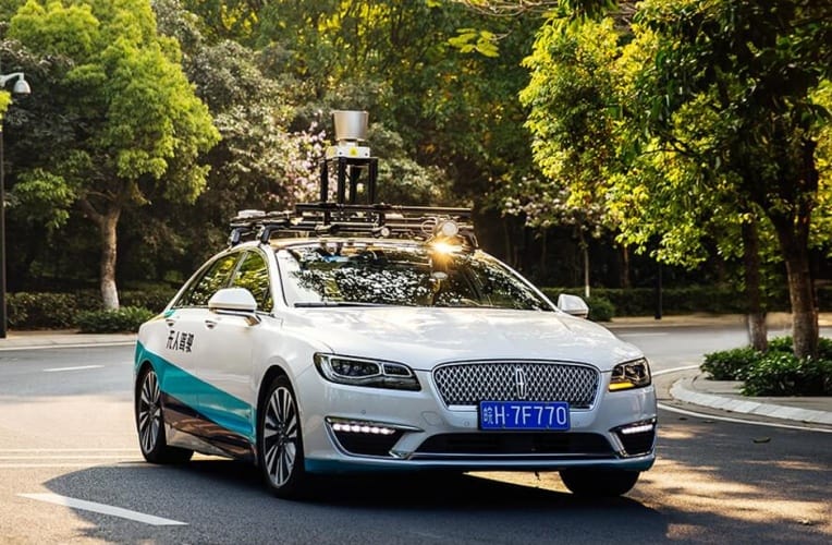
Published by Zenzic, the UK’s umbrella organisation for self-driving technology, and national mapping agency Ordnance Survey, the Geodata Report makes the case for common global data and mapping standards across the emerging autonomous sector. It recommends maps with resolution better than 5cm to ensure vehicles can operate in complex environments, including data on curbs, street-level features like lampposts, pedestrian crossings and road markings. Real-time updates on temporary objects such as skips and roadworks should also be a target.
“The UK’s goal is to be able to benefit from self-driving vehicles on our roads at scale by 2030, a target that requires the development of technologies and tools which do not fully exist today,” said Zenzic CEO, Daniel Ruiz.
“Our report with Ordnance Survey is another stake in the ground for the UK as a leader in the self-driving revolution and shows how the UK is building on its expertise in areas like mapping to drive the world forward.”
Register now to continue reading
Thanks for visiting The Engineer. You’ve now reached your monthly limit of news stories. Register for free to unlock unlimited access to all of our news coverage, as well as premium content including opinion, in-depth features and special reports.
Benefits of registering
-
In-depth insights and coverage of key emerging trends
-
Unrestricted access to special reports throughout the year
-
Daily technology news delivered straight to your inbox


Water Sector Talent Exodus Could Cripple The Sector
Maybe if things are essential for the running of a country and we want to pay a fair price we should be running these utilities on a not for profit...