3D mapping backpack assists with military planning
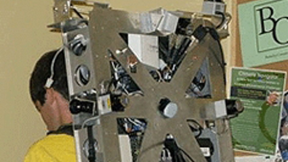
A portable laser backpack for 3D mapping has been developed at the University of California, Berkeley, where it is being described as a breakthrough technology capable of producing fast and realistic 3D mapping of interior environments.

Research leading to the development of the reconnaissance backpack was funded by the US Air Force Office of Scientific Research and the Army Research Office under the guidance of programme managers Dr Jon Sjogren (AFOSR) and Dr John Lavery (ARO).
The backpack is the first of a series of similar systems to work without being strapped to a robot or attached to a cart. Its data-acquisition speed is claimed to be very fast, as it collects the data while the human operator is walking; this is in contrast with existing systems that take days or weeks to acquire data.
Using this technology, air force personnel will be able to collectively view the interior of modelled buildings and interact over a network in order to achieve military goals such as mission planning.
Under the direction of Dr Avideh Zakhor, lead researcher and UC Berkeley professor of electrical engineering, the scientists have been able to use this more portable method of mapping by way of sensors, or lightweight laser scanners that weigh less than 8oz.
Register now to continue reading
Thanks for visiting The Engineer. You’ve now reached your monthly limit of news stories. Register for free to unlock unlimited access to all of our news coverage, as well as premium content including opinion, in-depth features and special reports.
Benefits of registering
-
In-depth insights and coverage of key emerging trends
-
Unrestricted access to special reports throughout the year
-
Daily technology news delivered straight to your inbox


CCC Report Finds UK Climate Targets Still Within Reach
In 1990 67% of the UK´s electricity came from coal-fired power stations and even without renewables the transition to gas was a major contributor to...